Interactive Flash Maps
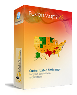
Fusion Maps v3 is a Flash map component that creates data-driven, customizable and interactive
maps for websites and dynamic web applications,
FusionMaps offers a wide range of maps including all continents, countries of world, US counties
cle. The Visual GUI allows even non programmers to configure and customize the properties
and data for the maps. It is a platform independent tool and can be used with any web scripting
language and database.
Explore 2000+ maps present in FusionMaps XT
Need a custom map for your own requirements?
If you couldn’t find the map you need, we can build custom maps for you. Be it a geographic region, flight or cinema seating, or even stadium seating, we can convert that to a data-driven map. Please get in touch with us – we would love to talk to you.
















There are no reviews yet.