In Stock

Quantity:
Share
Delivery & Return
Ask a Question
Estimated Delivery:
25 November - 29 November
42 People viewing this product right now!
Guaranteed Safe Checkout Trues Badge
Get it today
Free shipping
Free shipping Free shipping on orders over $75.
30 - Day Returns
30 - Day Returns Not impressed? Get a refund. You have 30 days to break our hearts.
Dedicated Support
Dedicated Support Support from 8:30 AM to 10:00 PM everyday
Deskripsi

Analyze and visualize geographic information

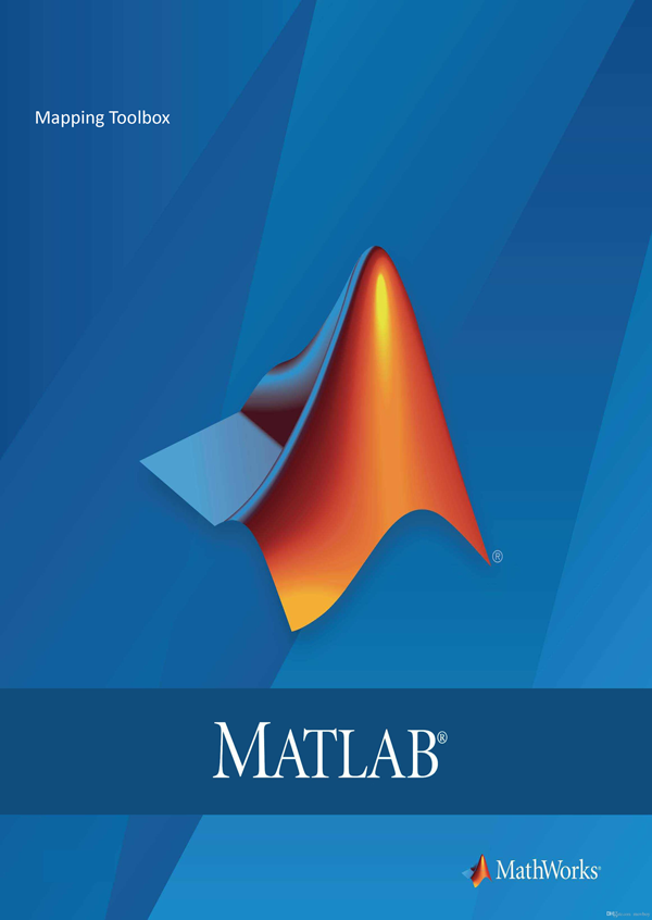
Mapping Toolbox provides algorithms, functions, and an app for analyzing geographic data and creating map displays in MATLAB. You can import vector and raster data from a wide range of file formats and web map servers. The toolbox lets you subset and customize data using trimming, interpolation, resampling, coordinate transformations, and other techniques. Geospatial data can be combined with base map layers from multiple sources in a single map display. You can export data in file formats such as shapefile, GeoTIFF, and KML. By incorporating mapping functions into MATLAB programs, you can automate frequent tasks in your geospatial workflow.


Ulasan (0)
Categories
Close
Home
Category
0 Wishlist
0 Cart

Login

Shopping Cart

Close

Your cart is empty.

Start Shopping

Note
Cancel
Estimate Shipping Rates
Cancel
Add a coupon code
Enter Code
Cancel
Close
Mapping Toolbox
Mapping Toolbox

In Stock

Quantity:

Ask a Question

Eror: Formulir kontak tidak ditemukan.

Select the fields to be shown. Others will be hidden. Drag and drop to rearrange the order.
  • Image
  • SKU
  • Rating
  • Price
  • Stock
  • Availability
  • Add to cart
  • Description
  • Content
  • Weight
  • Dimensions
  • Additional information
Click outside to hide the comparison bar
Compare